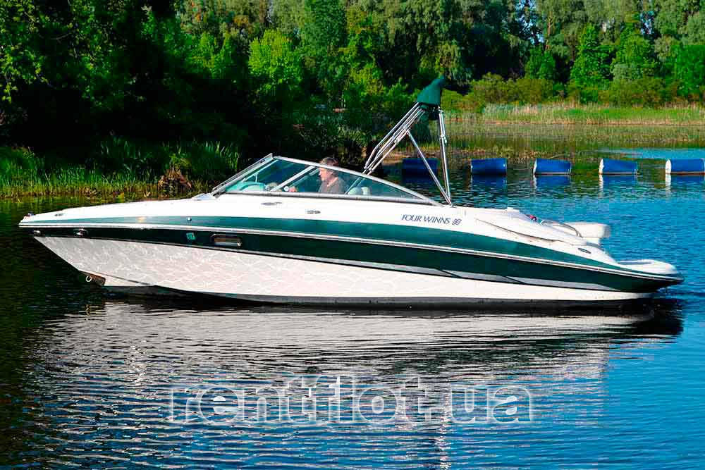
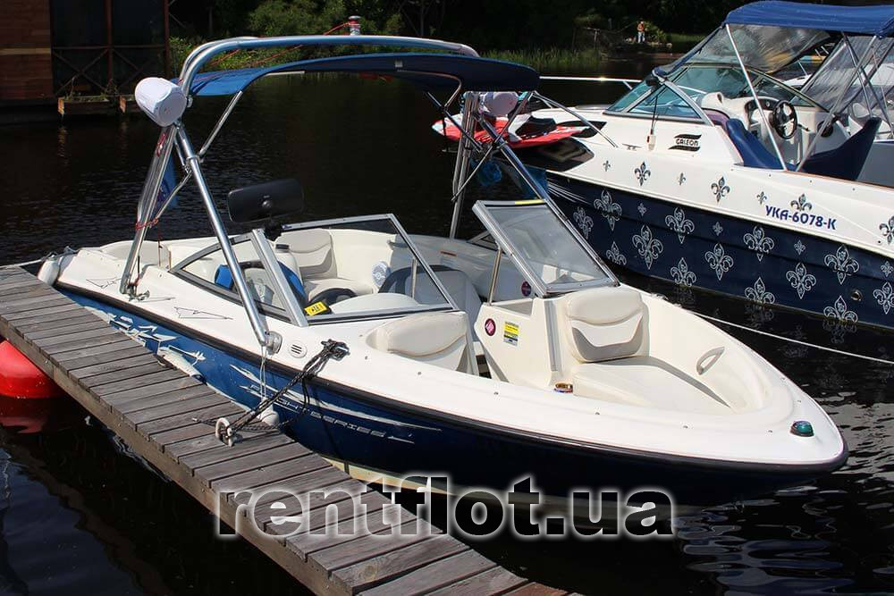
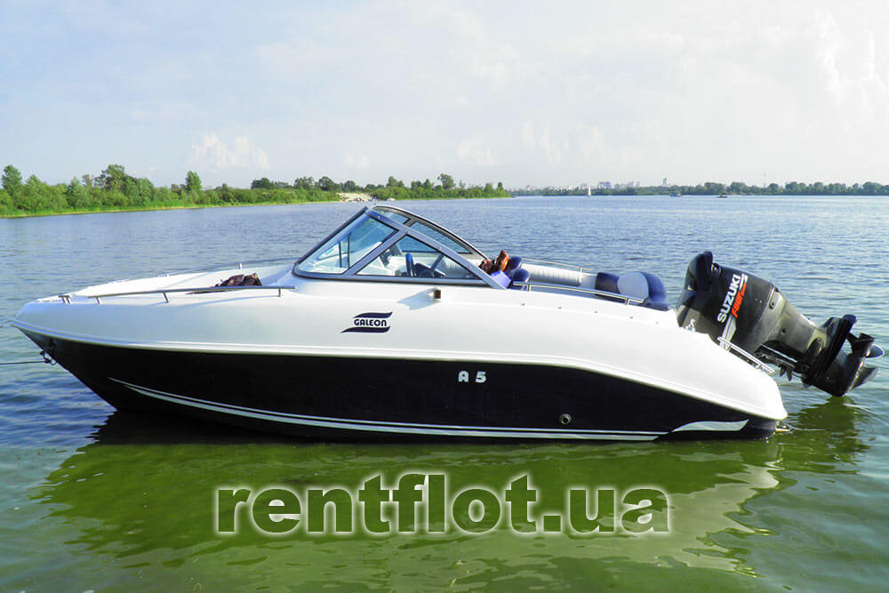
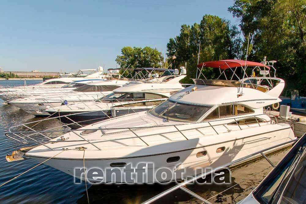
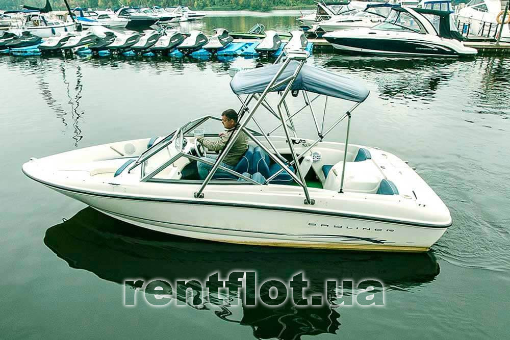
Boat Four Winns leaves the yacht club in Hydropark and heads towards Pochtovaya Square.
Note!
The boat is running at high speed.
When calculating a route, it is important to consider:
- estimated sailing time from the yacht club - 20 minutes
- return of the vessel to the yacht club - 20 minutes
Route "Hydropark - Pochtovaya sq."
Turning from the Venetian Island along the Dnieper to the right, upstream, the route will pass between Trukhanov Island and the slopes of the right bank of Kiev, which overlooks the Park of Eternal Glory, Askold's Grave, Mariinsky Park, and passing under the Pedestrian Bridge, to the Arch of Friendship of Peoples and Funicular, located at Pochtovaya Sq.
Description of the turning point
At the Postal Square. located: the lower station of the Funicular, the Kiev river station, the Church of the Nativity of Christ, the building of the former Post station.
Postal Square is one of the oldest trading squares in Kiev, dating back to the 4th century AD. acc. archaeological research. The name of the square comes from the appearance of the post-stagecoach station in the middle of the 19th century.
The name of T.G. Shevchenko is associated with the Church of the Nativity of Christ (built in the 18th century horse trail on the square), whose ashes were transported from St. Petersburg to Kanev, and solemn requiems were once again ruled in it.
Boat Four Winns leaves the yacht club in Hydropark and heads to the Velikiy island.
Note!
The boat is sailing at high speed.
When calculating a route, it is important to consider:
- estimated running time to the island - 1 hour
- return of the vessel from the island to the yacht club - 1 hour
- the time of anchorage at the island is calculated according to the sailing tariff of the boat
Route "Hydropark - Veliky Island"
Turning from the Venetian Island along the Dnieper to the right, upstream, the route will pass between Trukhanov Island and the slopes of the right bank of Kiev, which overlooks the Park of Eternal Glory, Askold's Grave, Mariinsky Park, and passing under the Pedestrian Bridge, to the Arch of Friendship of Peoples and Funicular located at the Postal Square. Further, past Rybalsky Island, Muromets Park and Natalka Park, under the Zheleznodorozhny and Severny Bridges, and bypassing Severny Island, along Obolon it will reach Veliky Island.
Description of the resting place
The shape of the island resembles a horseshoe with a comfortable lagoon. The coast of most of the island is sandy, in places steep with a beautiful beach area. The sandy edge turns into a mixed forest zone with shady lawns and open glades, where you can have a great rest, have a picnic, or passively active rest. On its territory, 24 species of animals and 4 species of plants included in the Red Book have been identified.
Boat Four Winns leaves the yacht club in Hydropark and heads towards the Desna river.
Note!
The boat is sailing at high speed.
The walk goes to the mouth of the Desna.
When calculating a route, it is important to consider:
- estimated sailing time from the yacht club - 1 hour
- return of the vessel to the yacht club - 1 hour
Route "Hydropark - Desna River"
Turning to the right from the Venetian Island along the Dnieper, the route will pass between Trukhanov Island and the slopes of the right bank of Kiev, which offers a view of the Mariinsky Park and the Palace, and passing under the Pedestrian Bridge, to the Arch of Friendship of Peoples and the Funicular located on Pochtovaya Square. Further, past Rybalsky Island, Muromets Park and Natalka Park, under the Zheleznodorozhny and Severny Bridges, bypassing Severny Island, along Obolon and reaching Veliky Island, it will turn right to the Desna mouth.
Description of the resting place
The Desna is the largest tributary of the Dnieper River, the 4th longest of the 6 large rivers of Ukraine (575 km in Ukraine + 555 km outside, more than 60% of the capital's drinking water comes from this waterway). The winding forms of the river are interesting for passing on boats, small motor ships and resting on its banks.
People have always admired its beauty and recalled in their works writers and poets, historical events took place on its banks and ancient mighty cities appeared.
Boat Four Winns leaves the yacht club in Hydropark and heads ttowards the Obvodny Canal.
Note!
The boat is sailing at high speed.
Walk to Sobi Club.
When calculating a route, it is important to consider:
- estimated sailing time from the yacht club - 1 hour 15 minutes
- return of the vessel to the yacht club - 1 hour 15 minutes
The world's longest bypass canal along an artificial reservoir is located in Ukraine, on the Dnieper above Kiev.
Route "Hydropark - Obvodnoy Canal"
Turning from the Venetian Island along the Dnieper to the right, upstream, the route will pass between Trukhanov Island and the slopes of the right bank of Kiev, which offers a view of the Park of Eternal Glory, the Mariinsky Park and the Palace, and passing under the Pedestrian Bridge, to the Arch of Friendship of Peoples and the Funicular , located on the Postal Square. Further, past Rybalsky Island, Muromets Park and Natalka Park, under the Zheleznodorozhny and Severny Bridges, bypassing Severny Island, along Obolon and reaching Veliky Island, it passes the Desna mouth up to the channel to the Obvodny Canal.
Description of the resting place
During the construction of the Kiev hydroelectric power station, the main channel of the Dnieper River was blocked, and the mighty waters of the main artery of Ukraine were directed along a bypass canal. Despite the fact that this is an artificial structure, now the canal looks like a real river, with picturesque banks and clear water. Not all motor ships and yachts can enter the canal from behind the road bridge near the hydroelectric power station, but those who can find themselves in an extremely interesting water area.
Boat Four Winns leaves the yacht club in Hydropark and heads towards the Kiev (HPP) dam.
Note!
The boat is sailing at high speed.
When calculating a route, it is important to consider:
- estimated sailing time from the yacht club - 1 hour
- return of the vessel to the yacht club - 1 hour
The route "Gidropark - Kiev (HPP) dam"
Up the Dnieper along Trukhanov Island and the right bank of Kiev, which offers a view of the Park of Eternal Glory, the Mariinsky Park and the Palace, and passing under the Pedestrian Bridge, to the Arch of Friendship of Peoples and the Funicular located on Postal Square. And then past Rybalsky Islands and Muromets Island, passing under the Zheleznodorozhny and Severny Bridges, past the mouth of the Desna, go around Veliky Island and go to the dam of the Kiev hydroelectric power station.
Description of the turning point
In addition to the direct function of a hydroelectric power station (electricity production since 1964), it performs a protective function against the "big water" of residential areas located below 103 m above sea level. In addition, the presence of a reservoir improves navigation conditions, especially in the period of shallow water.
The Kiev hydroelectric power station is designed for 100 years of operation and has 3 degrees of protection against water breakthrough: a concrete dam, a drainage channel and an earthen dam 70 km long.
Boat Four Winns leaves the yacht club in Hydropark and heads towards the Kiev sea.
Note!
The boat is sailing at high speed.
When calculating a route, it is important to consider:
- the specified time does not take into account the time for the gateway!
- estimated sailing time from the yacht club - 1 hour 10 minutes
- return of the vessel to the yacht club - 1 hour 10 minutes
After passing through the gateway to the Kiev reservoir, you can turn in the opposite direction without reaching the Mayak, or you can go further and walk along the waves of the artificial sea. It all depends on the length of your walk and the opening hours of the gateway.
Route "Hydropark - Kiev reservoir"
Up the Dnieper along Trukhanov Island and the right bank of Kiev, which offers a view of the Park of Eternal Glory, the Mariinsky Park, and passing under the Pedestrian Bridge, to the Arch of Friendship of Peoples and the Funicular located at Poshtova Square. Further, past Rybalsky Island and Muromets Island, passing under the Zheleznodorozhny and Severny Bridges, past the mouth of the Desna, we go around Veliky Island and go to Vyshgorod and the lock with access to the Kiev Reservoir.
Description of the turning point
The reservoir area is almost 1000 km², the length is about 100 km, the maximum width is 14 km, the maximum depth is 18 m; to create it, more than 50 settlements were flooded, in which 33 thousand people lived.
About 40 species of fish live in the Kiev Sea, incl. silver carp, grass carp, catfish, red book sterlet, beavers and nutria are found, about 800 species of microalgae, more than 70 species of higher aquatic plants, many birds nest. Biologists estimate the natural diversity of the Kiev Sea as the highest of all the reservoirs of the Dnieper cascade.
Boat Four Winns leaves the yacht club in Hydropark and heads to Vodnikov Island.
Note!
The boat is sailing at high speed.
When calculating a route, it is important to consider:
- estimated running time to the island - 30 minutes
- return of the vessel from the island to the yacht club - 30 minutes
- the time of anchorage at the island is calculated according to the sailing tariff of the boat
Route "Hydropark - Vodnikov Island"
Down the Dnieper, along the Venitsiansky Island, on the left, and the slopes of the right-bank Kiev, which reveals the beauty of the Park of Eternal Glory, the Kiev-Pechersk Lavra and the Singing Field, passes under the Paton, Darnitsky and Yuzhny bridges, bypassing Veliky Yuzhny Island. Further, past the Deviation Tower and Zhukov Island, it goes to Vodnikov Island.
Description of the resting place
Vodnikov Island (54 hectares) is a historical area on the territory of Kiev near Zhukov Island. The islands were connected by a dam, along which a highway was laid. A workshop of the Kiev shipbuilding and ship repair plant was built on the island and its bay was turned into a convenient harbor for the wintering of the river fleet. Now there is a large sandy beach on Vodnikov Island, it is convenient to cook barbecue, fish and swim here.
Before the revolution, the island was known as Chernechiy, since it had long belonged to the Kiev-Pechersk Lavra, and it was also called Galerny because, in addition to the convenience of the pier, it resembled a large galley barge in shape. In the 30s, for military purposes, a tunnel with a railway was laid through the island, but at the beginning of the war, the construction that had begun was mothballed and flooded, and in 1946. tubing and tunnel equipment were dug up and used in the construction of the Kiev metro, and in 1974. (after the launch of the Kanevskaya hydroelectric power station) was flooded again.
Boat Four Winns leaves the yacht club in Hydropark and heads to the island of Holguin.
Note!
The boat is sailing at high speed.
When calculating a route, it is important to consider:
- estimated running time to the island - 40 minutes
- return of the vessel from the island to the yacht club - 40 minutes
- the time of anchorage at the island is calculated according to the sailing tariff of the boat
Holguin Island is the second most popular place (after Velikiy Island) for recreation on almost all types of yachts and boats, as well as small motor ships.
Route "Hydropark - Holguin Island"
Down the Dnieper, along the Venitsiansky Island with the slopes of the right-bank Kiev, which reveals the beauty of the Park of Eternal Glory, the Kiev-Pechersk Lavra and the Singing Field, passes under the Paton, Darnitsky and Yuzhny bridges, bypassing the Great South Island. Further, past the Deviation Tower, Zhukov Island, Vodnikov Island and Kazachy Island it goes to Olgin Island.
Description of the resting place
Holguín is surrounded by picturesque dense vegetation with a muddy bottom and a rapid current around it. Holguín is a great place to get away from civilization and relax with friends or work colleagues. Often the most beautiful vacation spots are occupied by yachting tourists, fishermen on boats, scouts who train to survive in non-urban settings.
Representatives of European and Asian flora and fauna coexist here in an amazing way. In the reserve, which has become part of the regional landscape park "Dnieper Islands", scientists have discovered many rare plants, insects and birds.
Here you can find rare snow-white water lilies, medicinal herbs, otter and ermine. The decoration of the reserve is a colony of herons.


